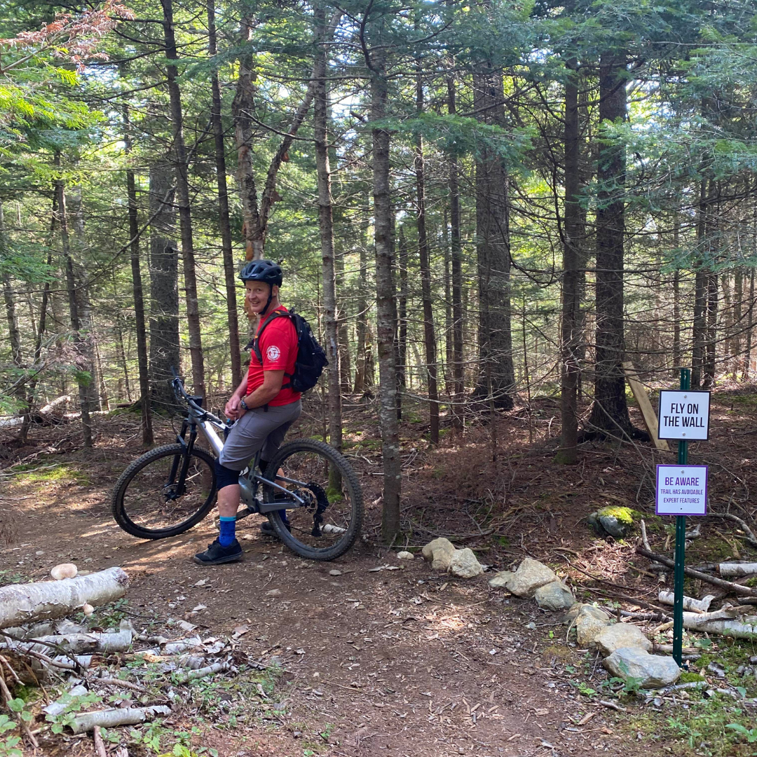
Gravel Riding in #SJTownsByTheBay

September 25, 2024


I have been reading some very interesting research about both the physical and mental health benefits of simply being in nature. In fact there is a Japanese phrase, Shinrin-Yoku, which loosely means forest bathing and refers to the health benefits of spending time in natural settings. Although I imagine most of the research has been done on walking and hiking, I don’t know why gravel cyclists wouldn’t also see similar benefits since a lot of the gravel routes are through the woods. I know I feel a lot more relaxed after a ride along some of the back roads and trails in the Saint John Region. Here are a few of my favourites:

One of my top choices for a gravel ride is the Irving Nature Park on the west side of the city. This 240 hectare park, built by JD Irving Limited, has a seven kilometre road that circles the park. This well maintained dirt road passes by several beaches, lookout spots and picnic tables as it makes a loop around Taylor’s Island. I think the Irving Nature Park is one of the city’s best picnic spots and is also one of the most accessible places to experience the Bay of Fundy coastline. My energy level dictates how many laps of the park I do.

Still on the west side of the city is the Spruce Lake trail. This is a popular multi-use trail that runs between Highway 1 and Spruce Lake. I really like this trail as it runs beside Spruce Lake and Ludgate Lake with lots of spots to stop and simply admire how pretty these lakes are. This is an out-and-back trail that, if you take it all the way from Ocean Westway to Prince of Wales, is close to ten kilometres each way. Note that ATV’s are permitted on this trail however I have never found this to be a problem. I also found the surface to be variable so wider tires are certainly better.

The third of the city’s west side routes starts at the truck inspection weigh station on Highway 7 between Grand Bay-Westfield and Saint John. Walk your bike around the gate and ride about ten kilometres along a dirt road past Menzies Lake to the Spruce Lake pumping station. You will see a lot of small boats here which people use to get to their camps on this extensive lake system, which is part of the Loch Alva Protected Area. This is another out-and-back ride and you will be sharing the road with a few vehicles.

The people of Saint John are very lucky to have Rockwood Park just ten minutes from the city centre. This 890 hectare nature park is very popular with hikers and mountain bikers but is also a great destination for gravel riding. The most popular route starts at the parking lot on Sandy Point Road and heads along the gravel Zoo Trail to Fisher Lakes Drive which is a paved road you will share with vehicles. Turn right and follow this road to the first parking lot. Turn left off the road and follow the paved path beside Fisher Lakes and back to Fisher Lake Drive. From here you have a choice. If you are feeling energetic, turn right and go past the Clean Air Trail parking lot to the Trans Canada Trail and then onto the Carriage Road which will take you back to the Zoo Trail. This route has three challenging hills that I have yet to conquer. If you are looking for something a bit more scenic, turn right and go down the road to the interpretative centre where you can take the trail around Lily Lake, then go back up the road to the Zoo Trail. If, after your ride, you still have some energy, stop in at Inside Out Nature Centre in the Lily Lake Pavilion and rent a paddle board or kayak. Or stop at Lily’s Lakeside Casual Dining for a nice meal or cool drink.


A link to a map of all Rockwood Park trails can be found here.

Heading east to Rothesay, the Wells Recreation Park has some nice, very well maintained trails for gravel riding. The main trail is a relatively short two kilometres of crushed gravel but you can add distance by riding the McKeever Lake Loop at a little over two kilometres and the Taylor Brook trail which will give you another 1.5 kilometres. These two spur trails are a combination of gravel and mulch.

The last trail I will highlight is an out-and-back ride from Kingston to Hampton alongside the Kennebecasis River. The starting point for this route is the parking lot at the soccer field in Kingston on Route 845 beside the Kingston Market. From there, cross Route 845 and ride the lightly travelled Perry Point Road for about three kilometres to the gravel Norton Shore Road. Follow this quiet, picturesque road along the Kennebecasis River for about 9 ½ kilometres. It becomes paved at about the six kilometre point. From the end of the Norton Shore Road into Hampton it is about 2 ½ kilometres along Route 845, which can be a bit busier. Once in Hampton you have a few choices for snacks and drinks: Kredl’s Market, Station 33 Café, and Beer Daddy BBQ are just a few. Or, in the summer months, if you want to add some water adventure to your day, check out Osprey Adventures for a canoe or paddleboard rental. 


----

These are just a few of my favourite gravel rides, but I’m certainly not done exploring the back roads of this part of New Brunswick. As I scan the map, I see roads that would take me through forests to lakes or rivers or out along the coast and I can’t wait to jump on my bike and explore more of this beautiful part of the province.

Doug Scott 

Doug Scott is an avid cyclist and proud booster of the Saint John Region.

Land acknowledgement

The Saint John Region is situated on the traditional territory of the Wolastoqiyik, Mi’Kmaq, and Peskotomuhkati Nations. This territory is covered by Peace and Friendship Treaties signed with the British Crown in the 1700s. The treaties recognized the significant and meaningful role of the Wolastoqiyik, Mi’Kmaq, and Peskotomuhkati in this province and the country with the intent to establish a relationship of trust and friendship.

Envision Saint John: The Regional Growth Agency pays respect to the elders, past and present, and descendants of this land, and is committed to moving forward in the spirit of truth, collaboration, and reconciliation.